The Magic of Paper Maps
|
|
Remember those days when you were a kid, just hanging out in the backseat of your parents' car, not a care in the world as they drove you to all sorts of cool places? Back then, figuring out how to get from one place to another was like a secret only grown-ups knew. You'd hop into the car, dive into your books or gadgets, and before you knew it, you'd be at your destination, like it was pure magic!
As kids, we didn't really think too much about how we got from Point A to Point B during our trips. But trust me, there'll come a time when you'll want to know the basics of finding your way around. Why? Well, it's simple - to avoid getting lost and to make sure you're not always running late.
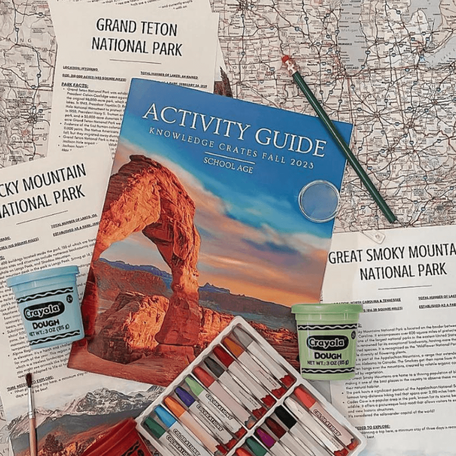
Now, if you're a tech-savvy kid, you might think that nifty GPS app on your smartphone is all you need, but what happens if your electronic buddy lets you down? Our Explore the National Parks unit crate includes multiple activities to jump-start the adventure, because what if your phone can't find a signal? That's when you'll be glad you know how to read a good ol' paper map.
Paper maps come in all shapes, sizes, and colors, and they're just waiting to take you on awesome adventures. Some maps cover huge areas, like a globe showing the whole wide world. Others focus on smaller places, like your state, city, or even a forest with lots of trails.
When you first look at a paper map, it might seem like a puzzle with all those lines and symbols. But don't worry, it's not rocket science. To unlock the map's secrets, you start with something called the legend. It's like the map's secret code that tells you what all those symbols mean. For instance, it might say that dashed lines are borders between places, or thick, red lines are superhighways.
After you've cracked the legend, you'll want to figure out which way is up, and that's where the map's orientation comes in. Most maps put north at the tippy-top, so you know which direction you're headed. And then there's the scale. It's like a map's way of telling you how far things are in real life compared to how they look on the map. For example, if the map says one inch equals one mile, you can figure out that two places that are five inches apart on the map are actually five miles away in real life. Oh, and don't forget about colors! Maps use colors to tell stories. If you spot a blue part on the map, chances are there's water there. Green bits are usually forests, and white parts are just regular land. Armed with these simple tricks, you can turn a paper map into your trusty adventure sidekick.
So, where can a paper map take you? Dreaming of a road trip across the country, a sunny day at the beach, or leading your family on an epic journey through beautiful national parks? Well, now that you've got the map-reading skills down pat, the world is your oyster! Get ready to explore, have fun, and let your adventures begin with the magic of paper maps!
✍🏼 @knowledgecrates
📸 @rootedhomelife


